
Town-Gown Interstices
A Berkeley Path Wanderers walking tour
of Daley’s Scenic Park
Jim Sharp
Photographs by Jay Cross
Town-Gown IntersticesA Berkeley Path Wanderers walking tour |
 Daley’s Scenic Park Tract |
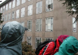
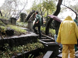
Saturday, 26 January 2002 Daley’s Scenic Park was the first residential subdivision in the North Berkeley Hills. Bounded by Hearst Avenue on the south, Arch Street on the west, Cedar Street on the north, and La Vereda Street and Highland Place on the east, the tract initially comprised 26 city blocks immediately to the north of the U.C. Berkeley campus. It was subdivided by owner Thomas Daley in 1889. Two years later, the entire tract plus an adjacent tract to the east were purchased by Frank M. Wilson, who began selling lots for houses. Our walk begins on the steps linking the divided cross-streets of Virginia St. and La Loma Ave. Listed below are some of the sites we have seen. Items in italics are maps and photos shared with the group. They are keyed to the numbers in bold below, with A being the front (yellow sticker) side of the handout and B being the back. Structures with 1A Map: Daley’s Scenic Park & University of California, 1914 1B Hillside Club Street Improvements in the Daley’s Scenic Park tract (Hillside Club & City Engineer, 1909) CoBL 2A Map: Daley’s Scenic Park & the Berkeley Fire of 1923 2B Map: U.C. Berkeley’s proposed Northeast Quadrant Science and Safety (NEQSS) projects 2701 Virginia St., James & Lizzie Mix house, 1894 1700 La Loma Ave., Burtt Davy-Bolton house (William Knowles, 1900) 1705 La Loma Ave., William Rees house (A.E. Hargraves; attributed to Maybeck & White, 1906) 1709 La Loma Ave., Elsa L. Jockers house (Maybeck & White, 1911) 1709 La Loma Ave. (1983) “off-street parking wars” 3A, B 1715 La Loma Ave., Lilian Bridgman house (Lilian Bridgman and William Knowles, with Maybeck’s help, 1899) 1715 La Loma Ave. (1990) “off-street parking wars” 4A 2695 Le Conte Ave., Henry Rand Hatfield house (Julia Morgan & Ira Hoover, 1908) 2683 Le Conte Ave. (1997) “off-street parking wars” NW corner, La Loma & Le Conte Aves.; redwood grove planted by Arthur Bolton Sr. North fork of Strawberry Creek (aka Blackberry Creek), undaylighted portion Oaktops condominium complex (c. 1950 & later); steps leading to Highland Place 5A, B 1770 Highland Place, Charles A. Keeler house (Bernard Maybeck, 1895) CoBL 2701 Ridge Rd., 6A NW corner, Hearst & La Loma Aves.,
7A SW corner, Hearst & La Loma Aves., Founders’ Rock NRHP Founders’ Rock is just another silica carbonate among many distributed along the front of the East Bay Hills. It is related to the alteration of serpentine and not related to the volcanic Northbrae (Indian Rock) except they have been brought together by faulting and ocean/continent collision processes that occurred 100+ million years ago. Bryophytes, Polypodium ferns
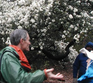
Gayley Road, blooming ceanothus 8A, B Gayley Rd.,
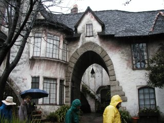
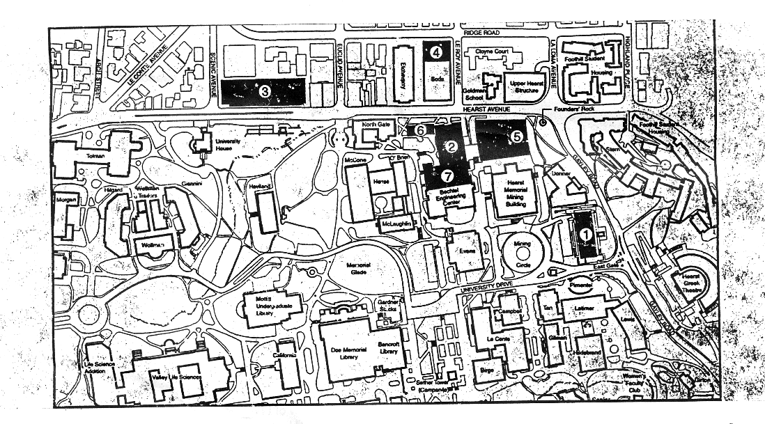
9A Hearst Memorial Mining Building (John Galen Howard, 1902–07) NRHP 10A, B 2607 Hearst Ave., Beta Theta Pi chapter house (Ernest Coxhead, 1893) CoBL Le Roy Ave., Goldman School of Public Policy expansion building, 2002� (13k gsf) Soda Hall, phase I, 1992 11A 2601 Ridge Rd., Cloyne Court (John Galen Howard, 1904) NRHP “Where beauty and hospitality are mated” 12A, B 1777 Le Roy Ave., Allanoke (Coxhead & Coxhead, 1903) CoBL Ridge Road, old brick sidewalk in front of Allanoke
13A, B Mid-block Le Roy Ave., Annie’s Oak CoBL (designated as part of the Hillside Club Street Improvements in the Daley’s Scenic Park tract) SW corner, Le Roy Ave. & Ridge Rd., site for Soda Hall phase II (35k gsf) 14A, B Hearst & Le Roy Aves., Gap between Naval Architecture Building (formerly Drawing Building) & 15A Hearst Ave., Drawing Building (John Galen Howard, 1913–14) NRHP 16A Hearst Ave., North Gate Hall, formerly the “Ark” (John Galen Howard, 1906) NRHP 17A NE corner, Euclid & Hearst Aves., Euclid Apartments (John Galen Howard, 1912) CoBL 18A Observatory Hill, remains of the Observatory Hill, Manzanita in bloom 19A University House, UC President’s—now Chancellor’s—residence (Albert Pissis, 1900) CoBL Tuscan pines in front of University House 1781–1839 Spruce St., Thornburg Village, aka Normandy Village (William Raymond Yelland, 1926–1927) CoBL 2311 Le Conte Ave. (Julia Morgan, 1923) 2300 Le Conte Ave., Joseph W. Harris house (John B. Anthony, 1936) CoBL 2357 Le Conte Ave., Orrin Kip McMurray house (Bernard Maybeck, 1924) Holy Hill, GTU buildings 20A Scenic Ave. & Ridge Rd., GTU Library on site of
20B View of Lower Hearst Parking Structure Euclid Ave., Church Divinity School of the Pacific 21A, B 1755 Le Roy Ave., Weltevreden, Volney D. Moody house (A.C. Schweinfurth, 1896) CoBL now Cal Band’s Tellefsen Hall 22A SW corner of Virginia St. & Le Roy Ave., site of the first Le Roy Steps CoBL Hilgard & La Loma Aves., destroyed Hillside Club Street Improvements pylons, July 2001 [ed: since repaired] | Map of Berkeley 1923 fire area This map was published in Northside: Historic Survey of a North Berkeley Neighborhood Before and After the 1923 Wildfire by Susan D. Stern Cerny (Berkeley Architectural Heritage Association, 1990). Map of U.C. Berkeley Capital Projects
Based on a Web page mounted by Jay Cross for the Berkeley Path Wanderers Association, utilizing guide notes by tour leader Jim Sharp and illustrated with Cross’s photographs. Daniella Thompson inserted corrections, additions, and historic photos & maps in November 2004, with further amendments in January 2009. |


